Trail riding · Stories
A road opened by the Romans two thousand years ago to cross the Sierra de Guadarrama remains, today, one of the toughest terrain tests for any mountain carriage.
The Fuenfría Roman Road is part of Via XXIV of the Antonine Itinerary, built in the first century to link Segovia with the south of the sierra. It leaves Las Dehesas de Cercedilla, on the Madrid slope, and climbs a historic cobbled surface up to the Fuenfría mountain pass, at 1,796 metres, before descending towards Valsaín and La Granja, already in Segovia.
It's still, today, one of the most heavily used mountain passes in the Sierra de Guadarrama, and a crossroads of historic routes: at the Pradera de los Corralillos, the Roman road itself, the Bourbon road, the Camino Schmid and the old Carretera de la República all converge.
The climbing stretch up to the pass accumulates between 400 and 500 metres of real elevation gain, with uneven historic stone on the best-preserved sections of the original road. It's exactly the kind of terrain a flat-road carriage can't handle: the combination of sustained slope and uneven surface demands a stable centre of gravity and a suspension capable of absorbing constant bumps without transmitting them to the horse.
For carriage traction, the real alternative isn't the cobbled road itself — which is a historic heritage site and a technical passage for those on foot — but the Carretera de la República, the wider forest track that runs through the same valley with a gentler sustained slope.
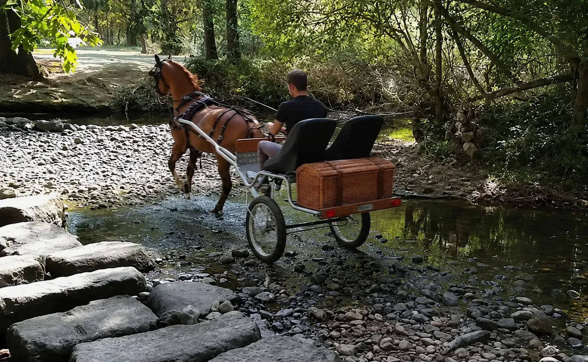
Over a sustained elevation gain of several hundred metres, every kilo of structure the carriage doesn't weigh is a kilo less of traction effort accumulated over the whole climb. The Kevlar suspension and the trial-motorcycle-sourced wheels absorb the uneven surface without transmitting the impact directly to the axle.
See the full technical detail · See the welfare argument on sloped terrain
| Starting point | Majavalán car park, Las Dehesas de Cercedilla (Madrid) |
|---|---|
| High point | Fuenfría mountain pass, 1,796 m |
| Elevation gain | 400-500 m, depending on the section |
| Recommended route for carriage | Carretera de la República (forest track, not the cobbled road) |
| Best season | Spring, summer and autumn; in winter there are icy sections in shaded areas |
On the other side of this same valley, on the Segovia slope, lies the Garganta del Río Moros, a very different terrain also put to the test with the Navarro.
Want to take your horse to terrain like this? Request your quote, or go back to all the crossings.