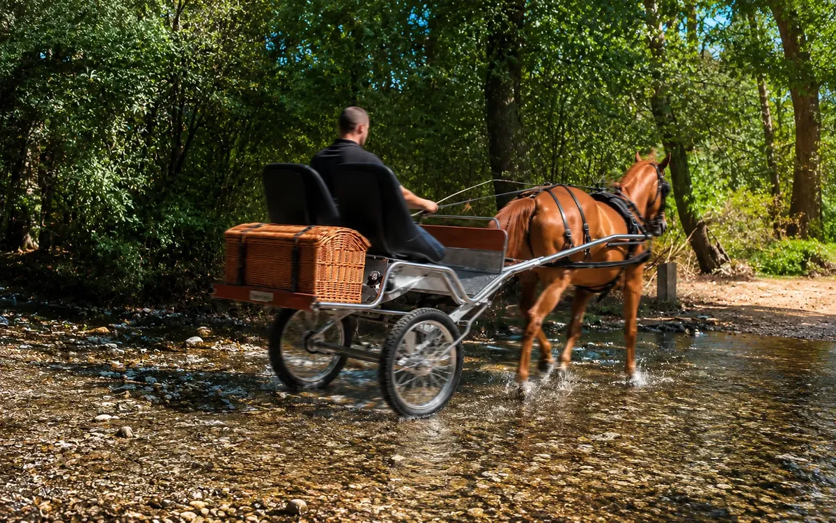
Trail riding · Stories
On the other side of the same valley as the Fuenfría, but a challenge of a different nature: here, what tests the carriage isn't the slope, but the kilometres.
The Garganta del Río Moros, also known as Garganta de El Espinar, runs along the Segovia slope of the Sierra de Guadarrama, following the river's course from its source at the Ojos del Río Moros down to the Tejo and Vado de las Cabras reservoirs. The place's name dates back to the late 12th century, when this area was one of the last Muslim presences in the sierra.
The usual starting point is the La Panera picnic area, next to the El Espinar train station, already in Segovia territory.
Unlike the Fuenfría Roman road, the elevation gain here is moderate — between 200 and 360 metres depending on the chosen route — but the total distance can exceed 15-20 kilometres along a wide forest track, comfortable and practically passable in its entirety. The challenge for a carriage isn't crossing a mountain pass, but maintaining sustained traction effort for several hours, through dense pine forest alongside the riverbed.
On long routes, accumulated fatigue depends less on a single burst of effort and more on the constant weight the horse pulls kilometre after kilometre. This is where the difference between 65 kg and the 220–400 kg of a conventional carriage shows more at the end of the route than at the start.
See the full comparison of weight and materials · See the welfare argument on long crossings
| Starting point | La Panera picnic area, El Espinar train station (Segovia) |
|---|---|
| Distance | 15-20 km, depending on the chosen variant |
| Elevation gain | 200-360 m, moderate |
| Surface type | Wide forest track alongside the river, Tejo and Vado de las Cabras reservoirs |
| Operational notice | Closed to traffic from June to October due to forest fire risk (area within the Sierra de Guadarrama National Park) |
On the other side of this same valley, on the Madrid slope, lies the Fuenfría Roman Road, a sustained-slope terrain very different from this one.
Is your horse ready for a multi-hour crossing? Request your quote, or go back to all the crossings.